I did a Saturday ride instead of Sunday. The weather has been so iffy lately that it didn’t make sense to wait and see how Sunday would shape up.
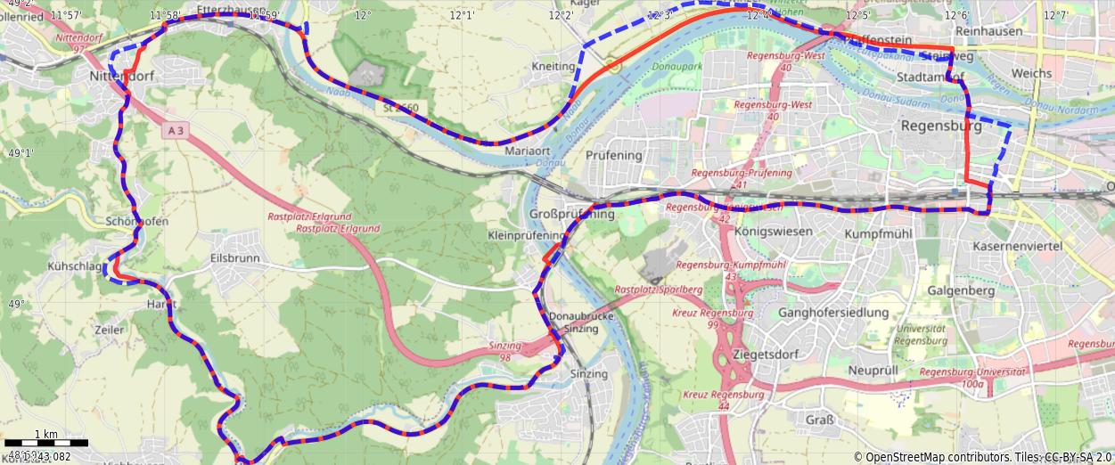
It was a little easier to stay on the road outside Kühschlag, and avoid the inner workings of the bustling metropolis that is Downtown Nittendorf, so I opted to deviate from the planned route a bit there.
And for the stretch from Kneiting to roughly the Pfaffenstein tunnel was STILL under construction, so I followed the detour instructions through Winzer, which was pleasant.
Towards the end of my ride the sun started to come out, but for the first three fourths of the ride, I didn’t need sunglasses. It’s a little less picturesque that way, but sure makes the exercise more tolerable.
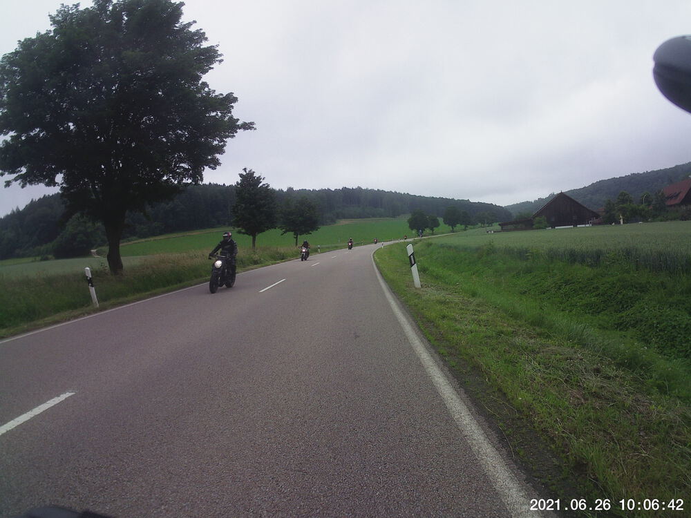
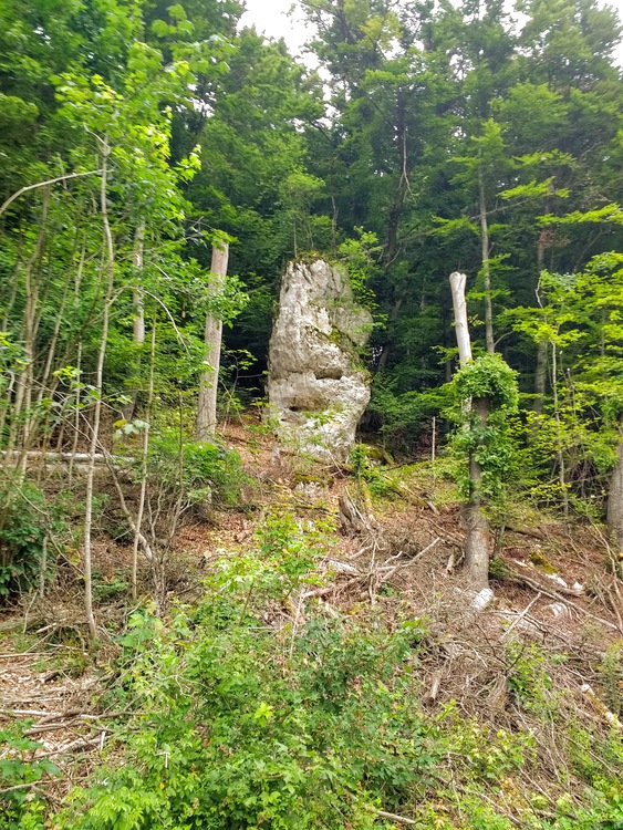
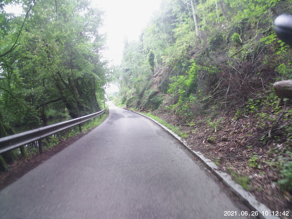
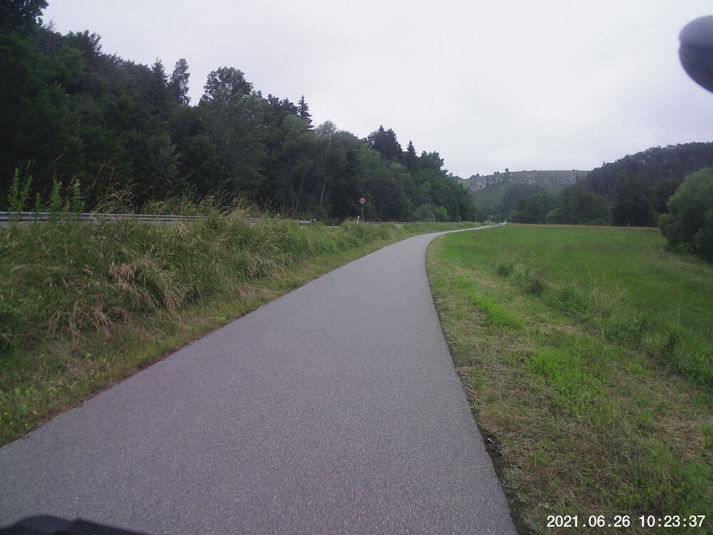
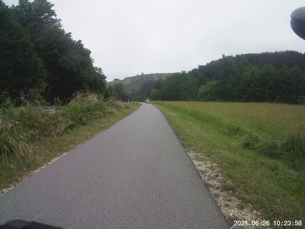
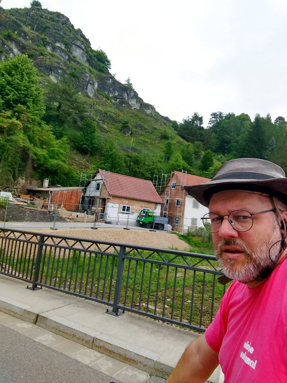
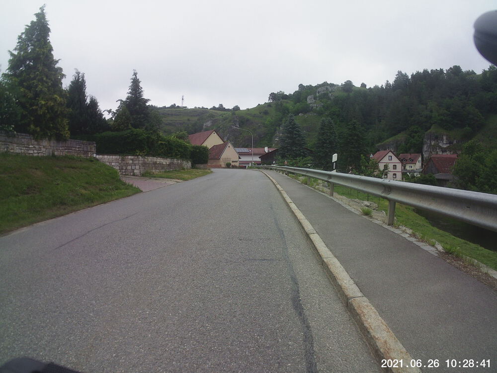
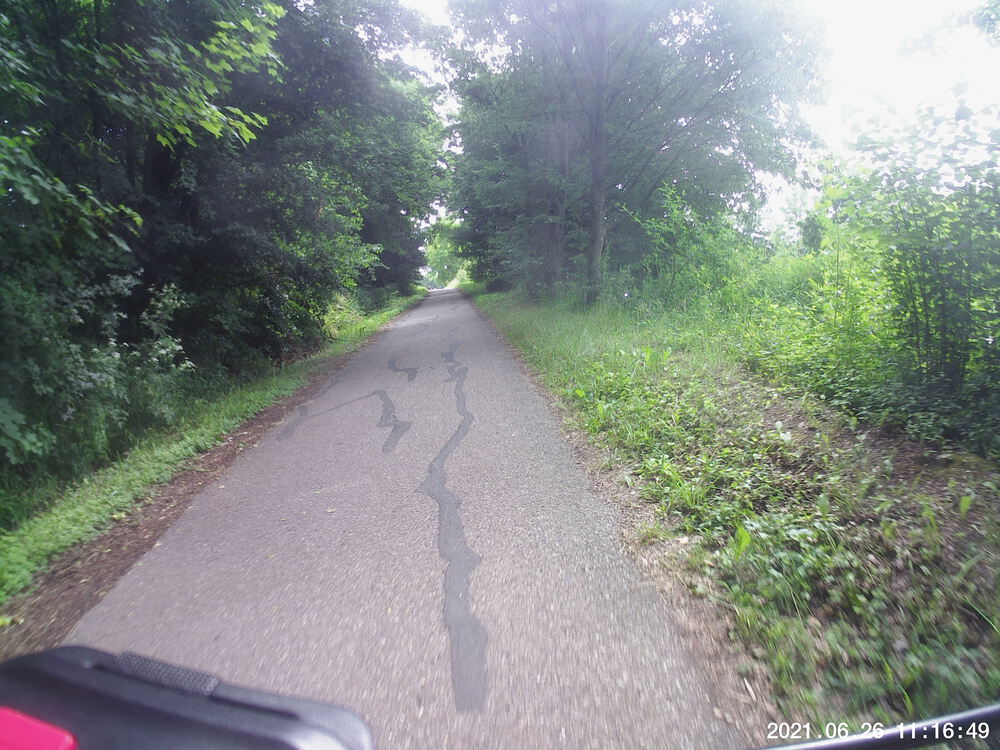
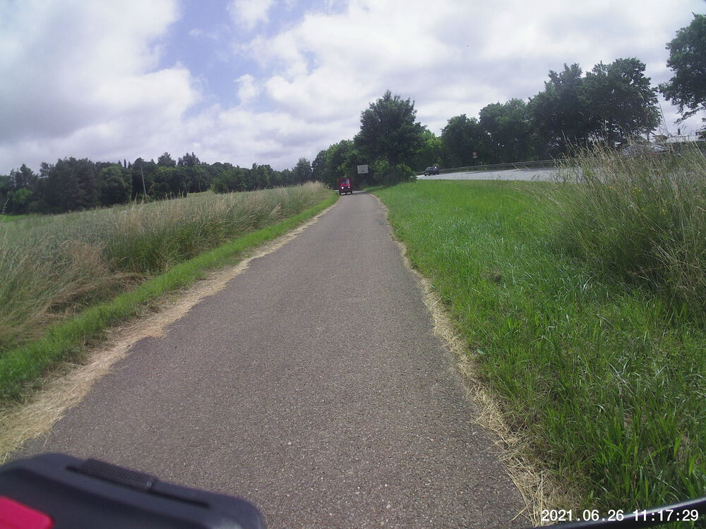
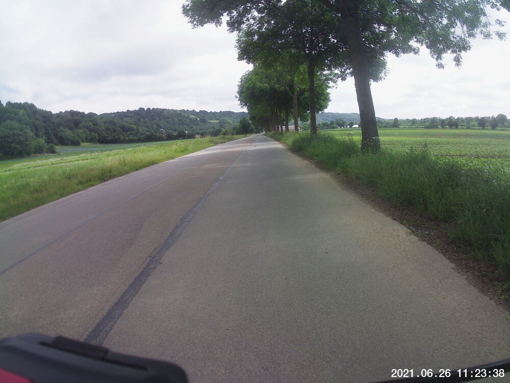
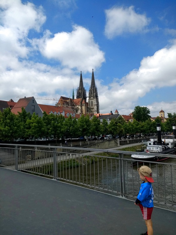
Snaps

Video Recap
Route
You might need to tap or click the map to make it bigger. The red solid route was my intention. The blue dashed route is my actual route.
Stats
Total Distance:       33.3 km
Total Time:           2:17
Moving Time	      1:53
Max Speed:              47 km/h
Average Elevation:     356
Elevation Range:       323 m, 430 m
Uphills total:         108 m
I forgot to wear my heart rate monitor on this ride, so the calorie stats are missing. But I can offer geographic ones instead.