I went up those hills south of Regensburg on the way to Pentling that used to discourage me. I won’t say they’re easy now, but I can chug along in my lowest gear without feeling like I’m risking a heart attack. Basically abandon all hope, ye who enter Kumpfmühl…it’s a long, mostly uphill slog to Hohengebraching. But after that it was pretty nice all the rest of the way back home.
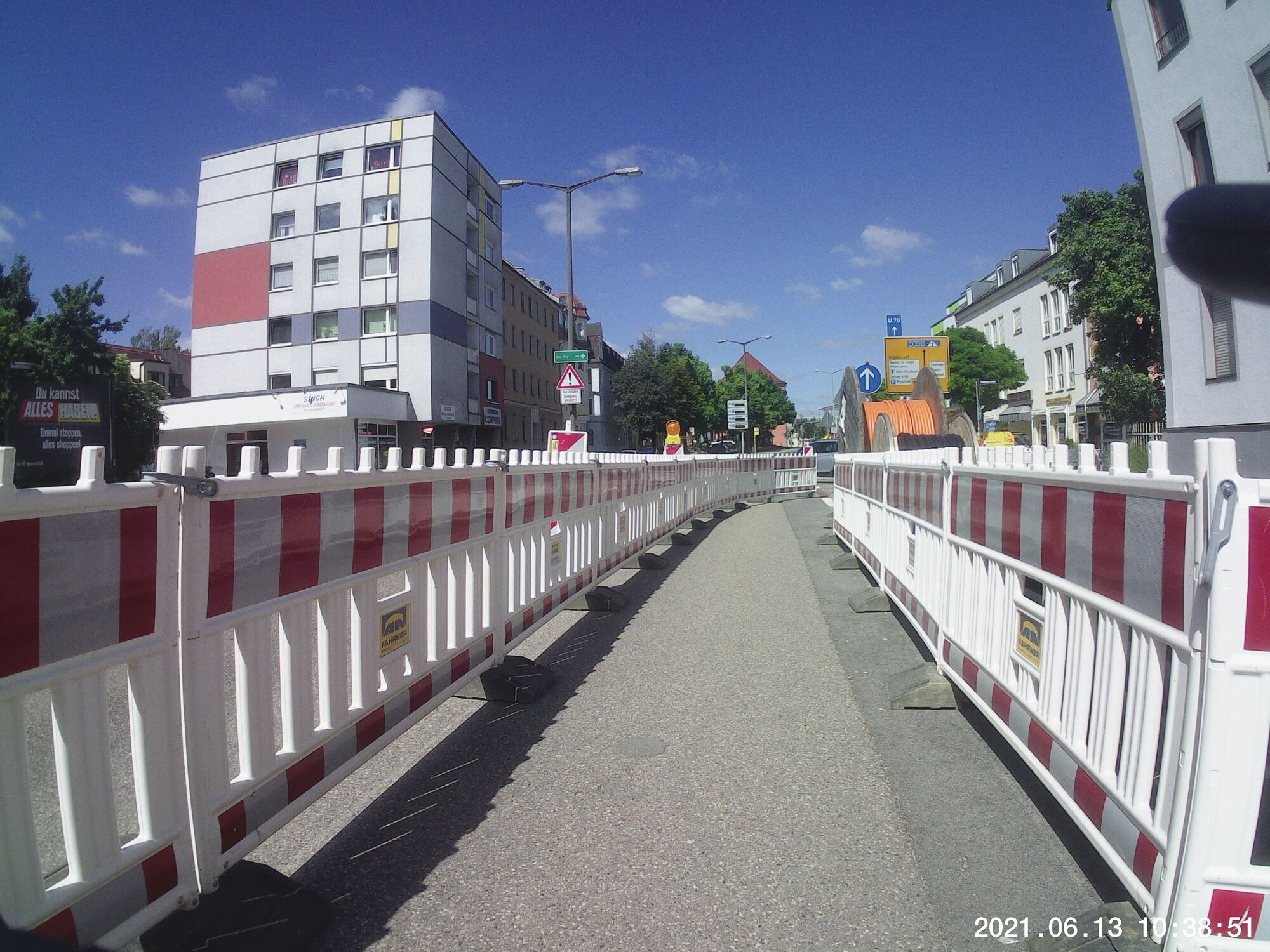
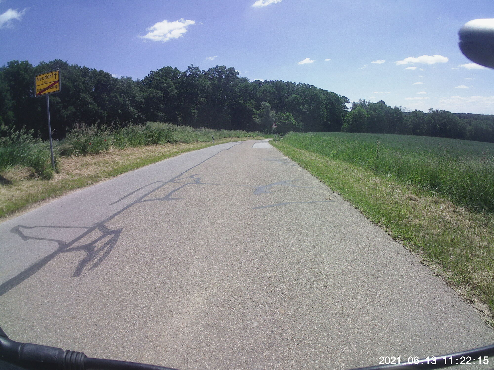
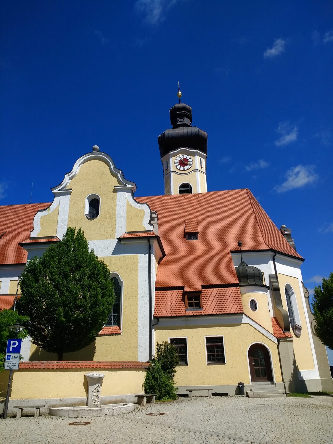
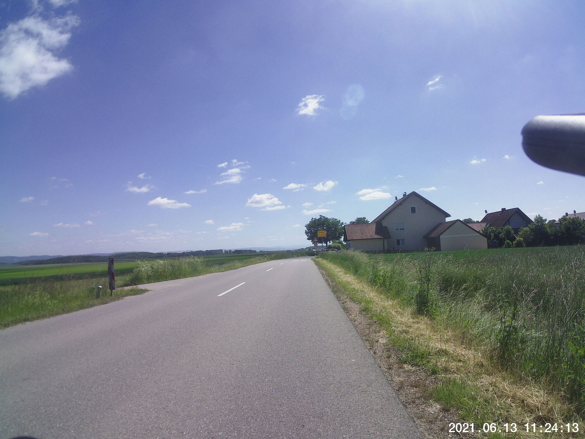
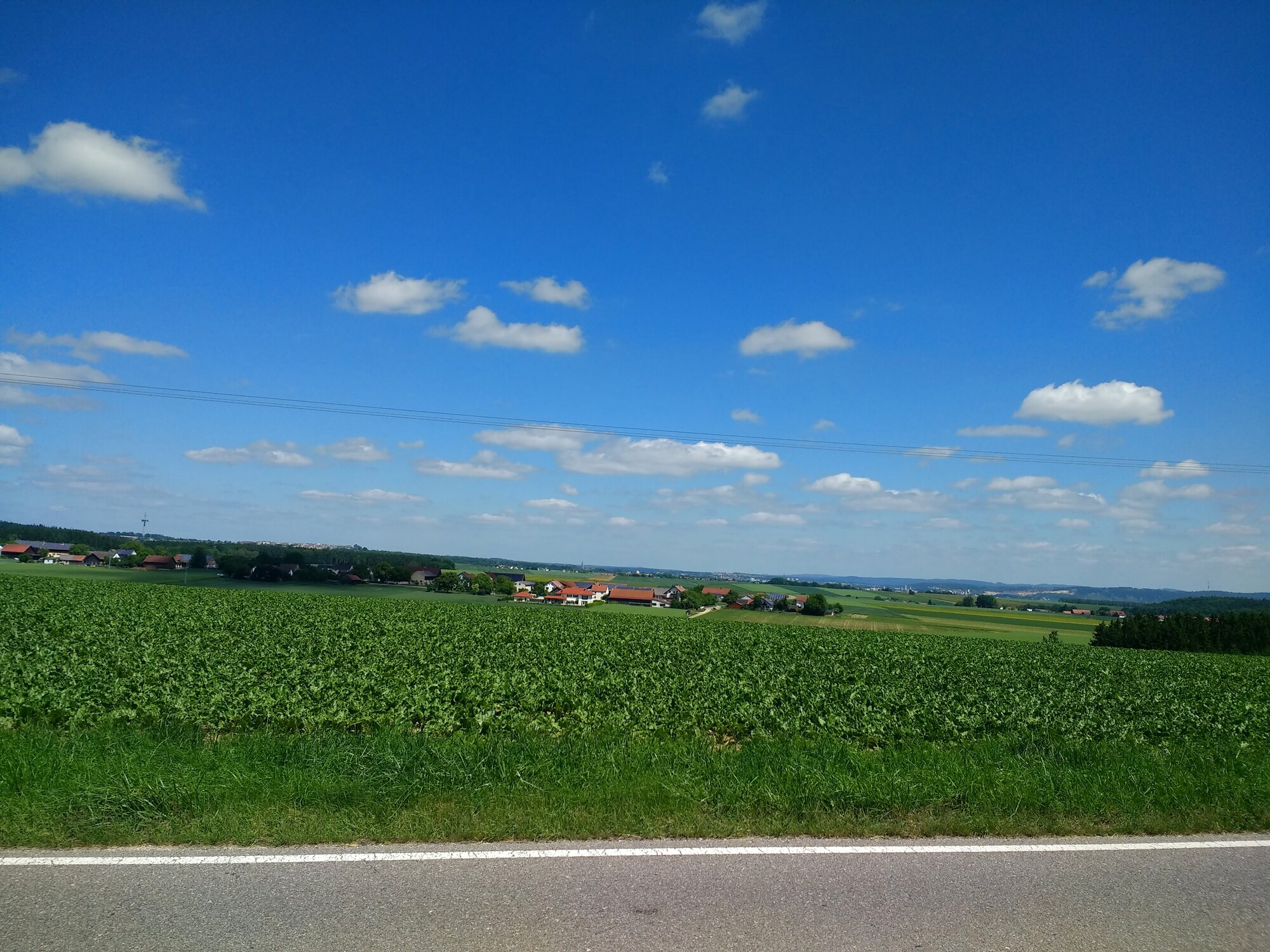
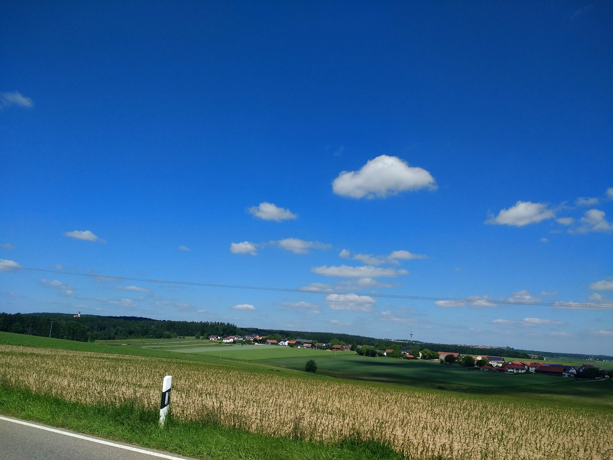
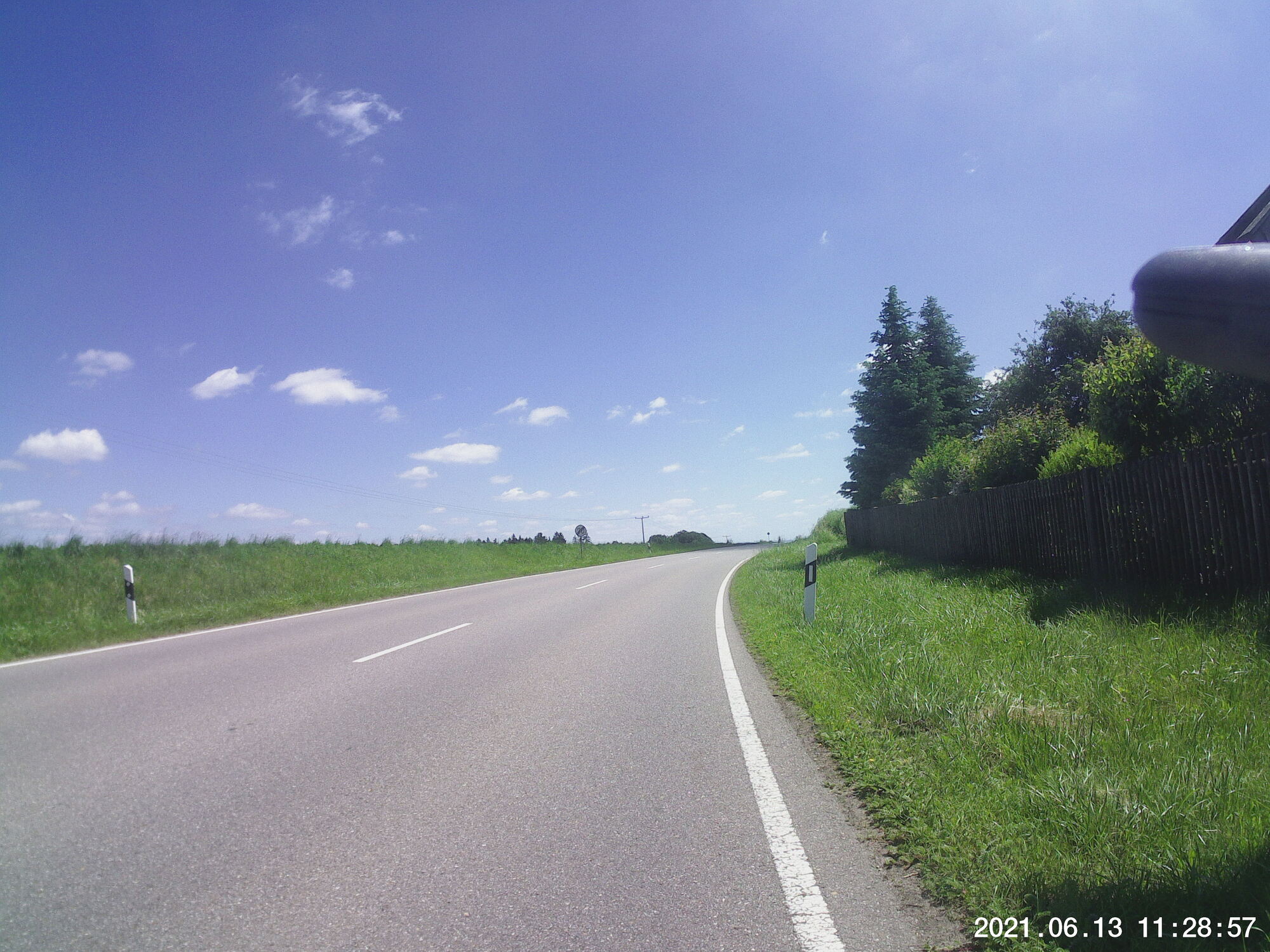
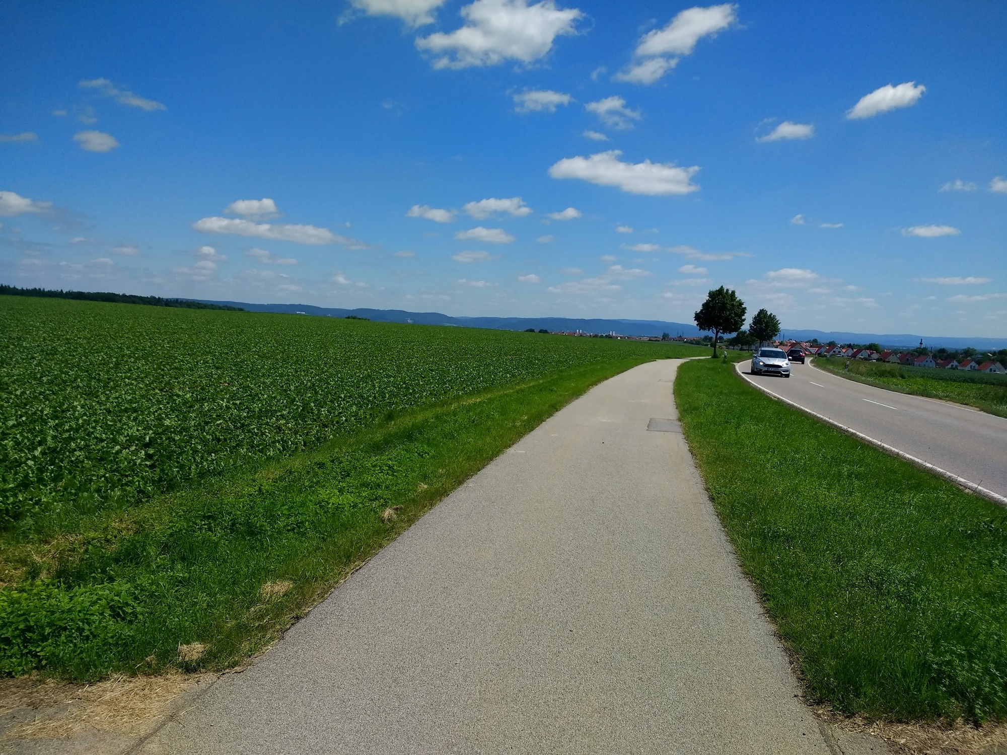
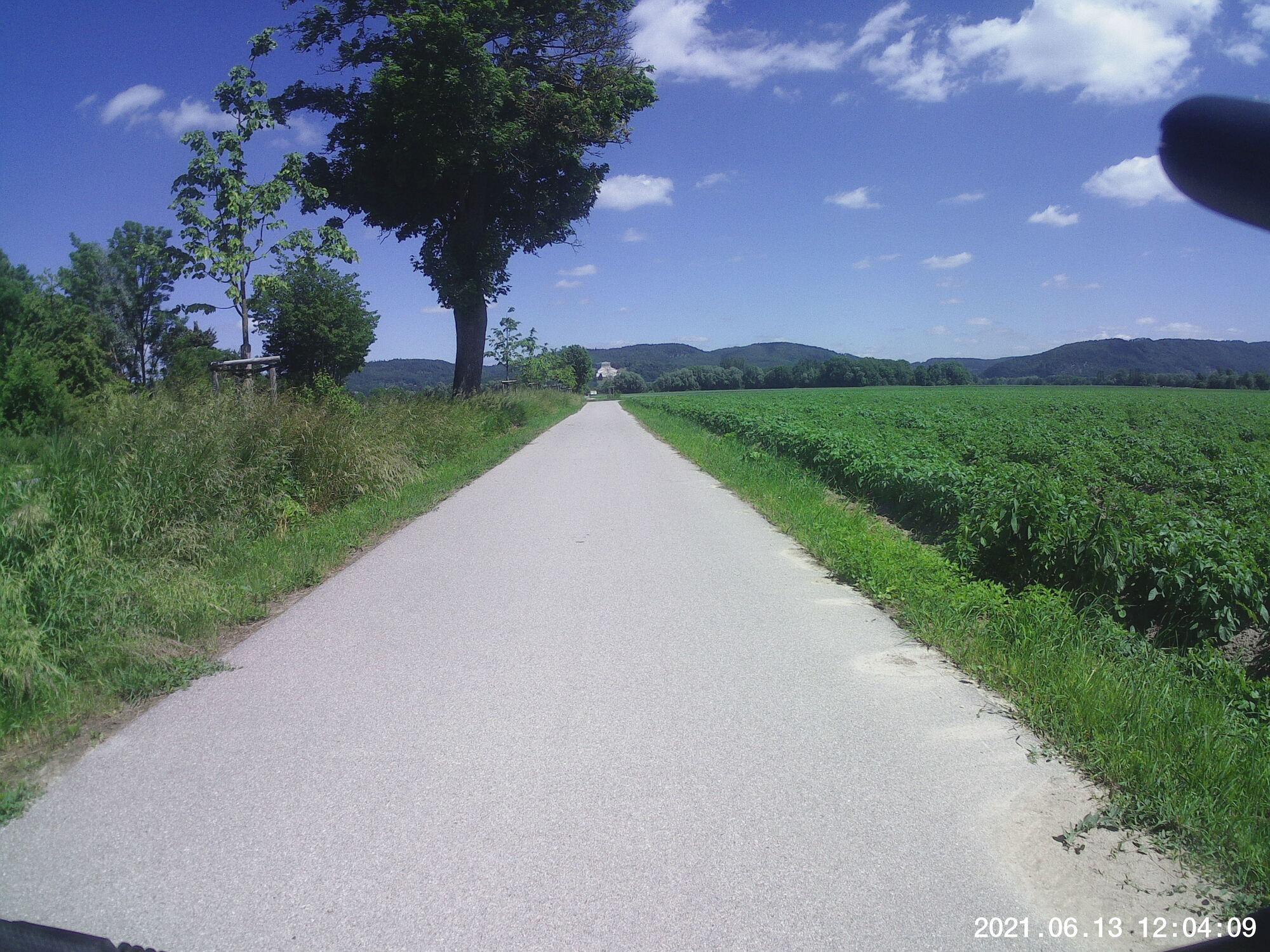
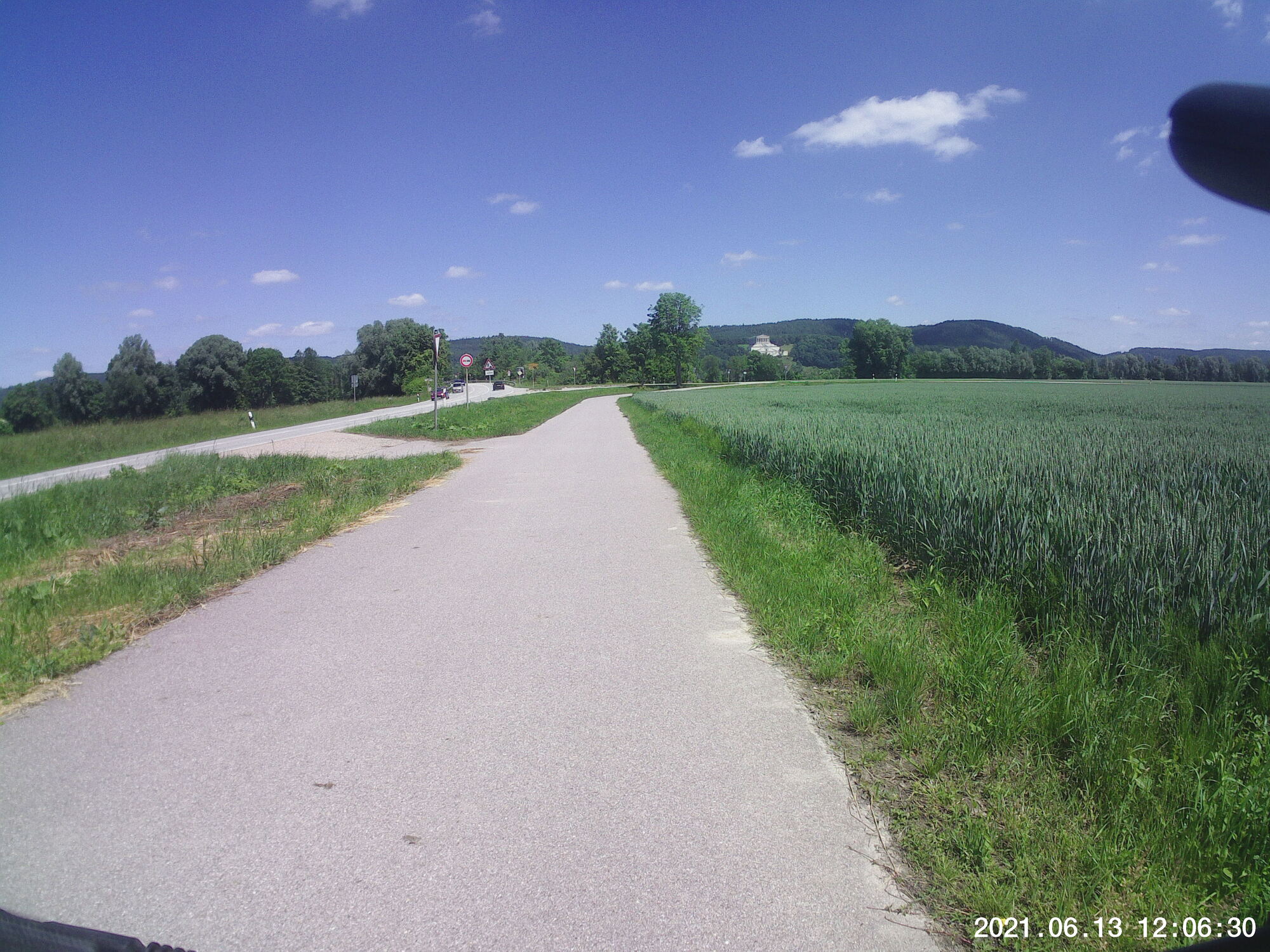
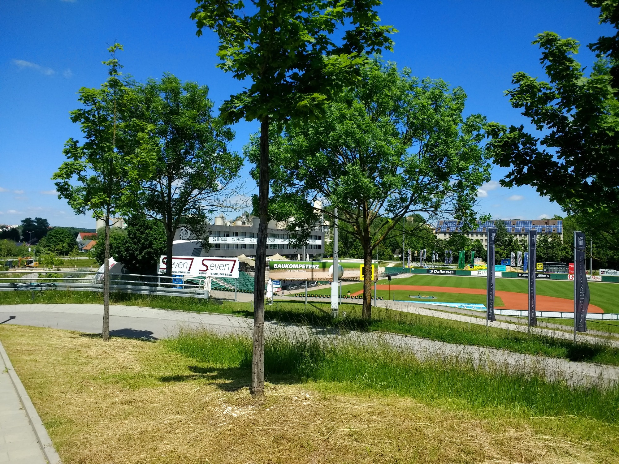
Snaps


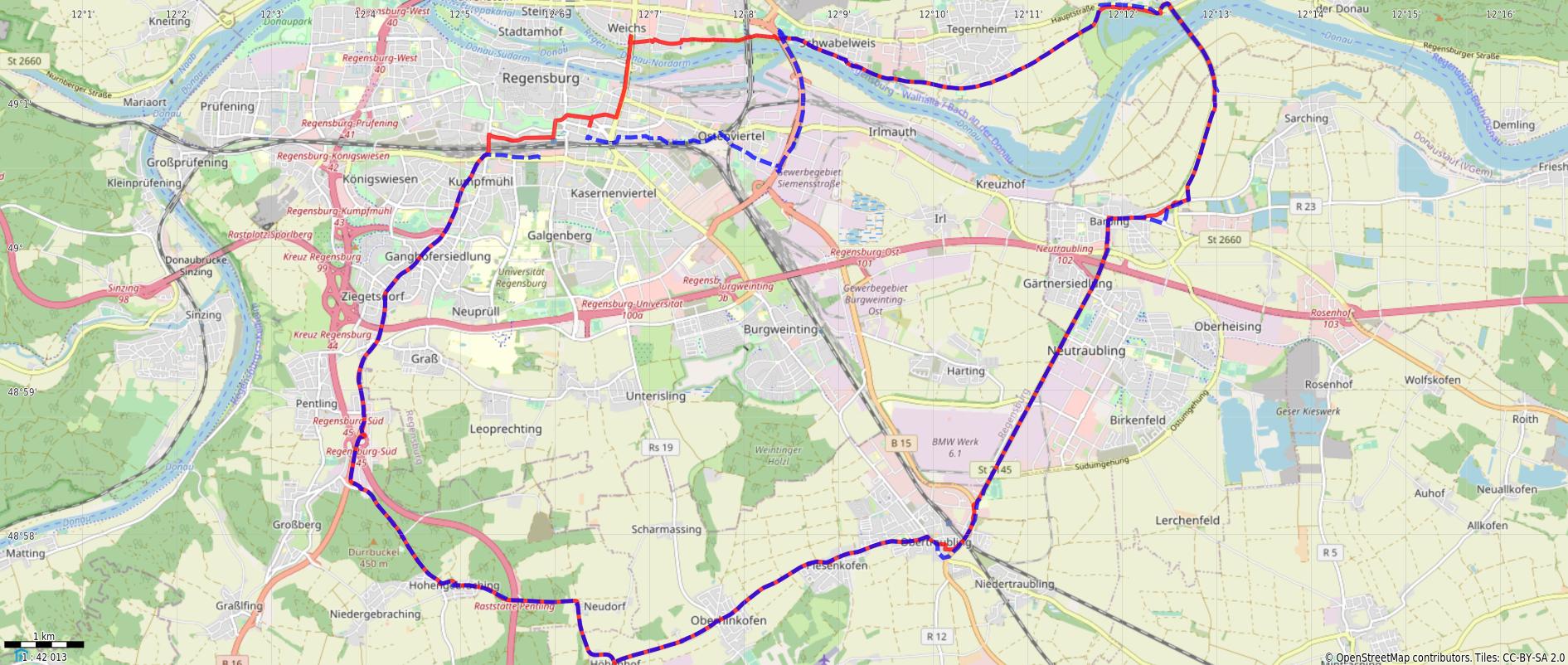
Route
You might need to tap or click the map to make it bigger. The red solid route was my intention. The blue dashed route is my actual route.
Stats
Total Distance:         34.5 km (plus a tiny a bit more)
Time:                   2:13
Calories:               1386
Calories from fat:    	  22 %
Average Heart Rate:      125
Maximum Heart Rate:      148
Fat Burn:               0:32
Fitness:                1:41