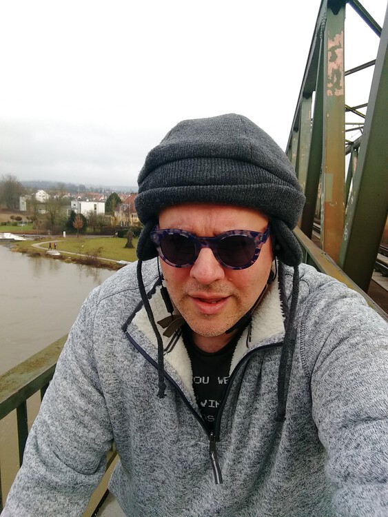
Snaps
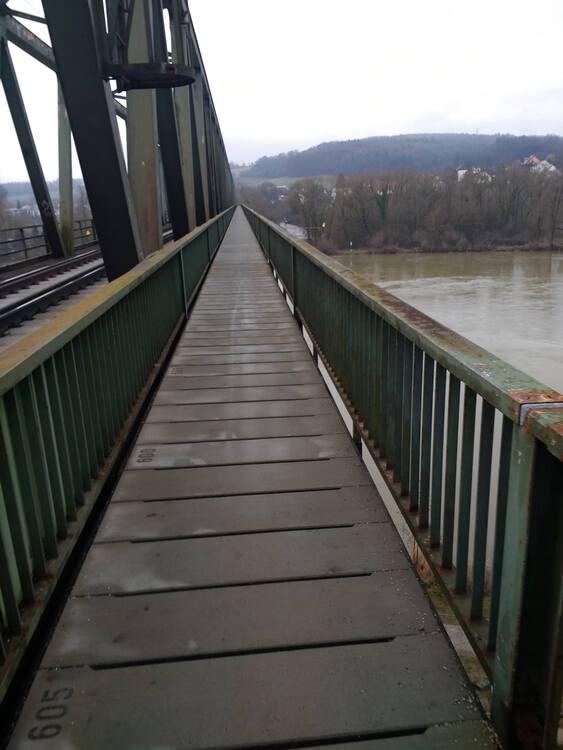
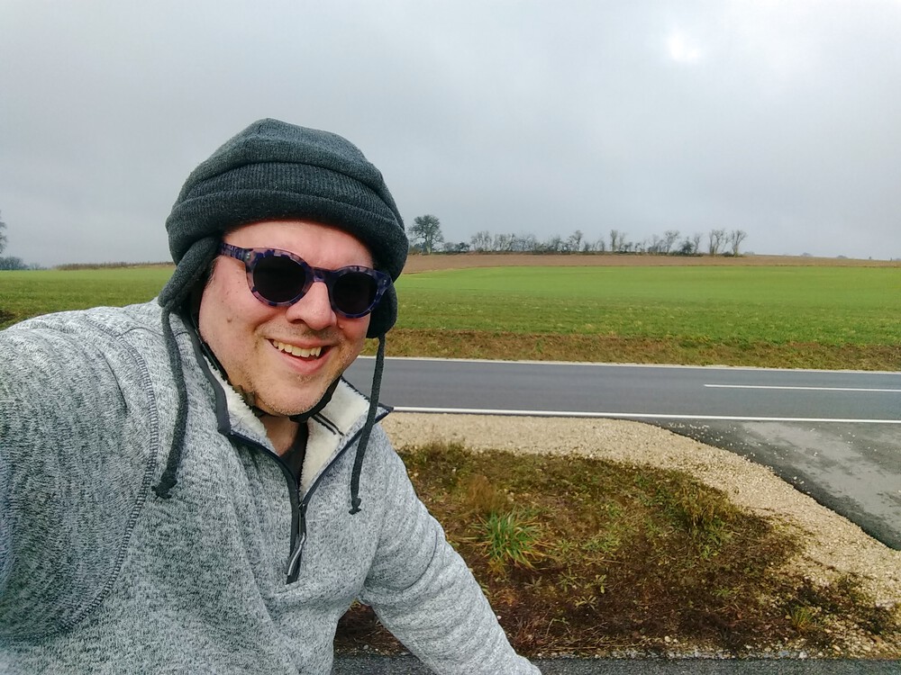
I started off crossing the Danube at Kleinprüfening. Notice the water level. This was warning sign #1 and will be important later.
I got all the way up the hill above Eilsbrunn (home of Gaststätte Röhrl, the oldest continuously operating restaurant in the world, according to the Guinness Book of Records. I’ve eaten there a few times. It’s good.) before taking a break. That hill was serious.
Zooming down from there towards Hardt was fun. But then I got back up another hill almost right away and a weird plateau farmy place.
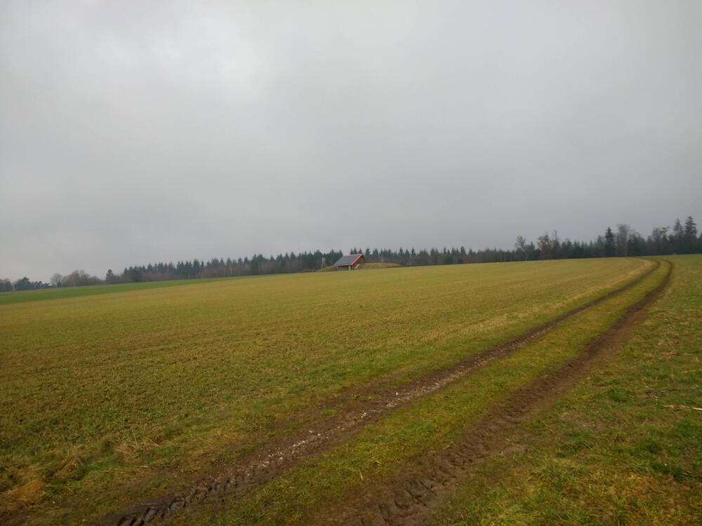
What is this house built into a mound with low-slooping rooves (hi Susie) and solar panels out in the middle of a field?
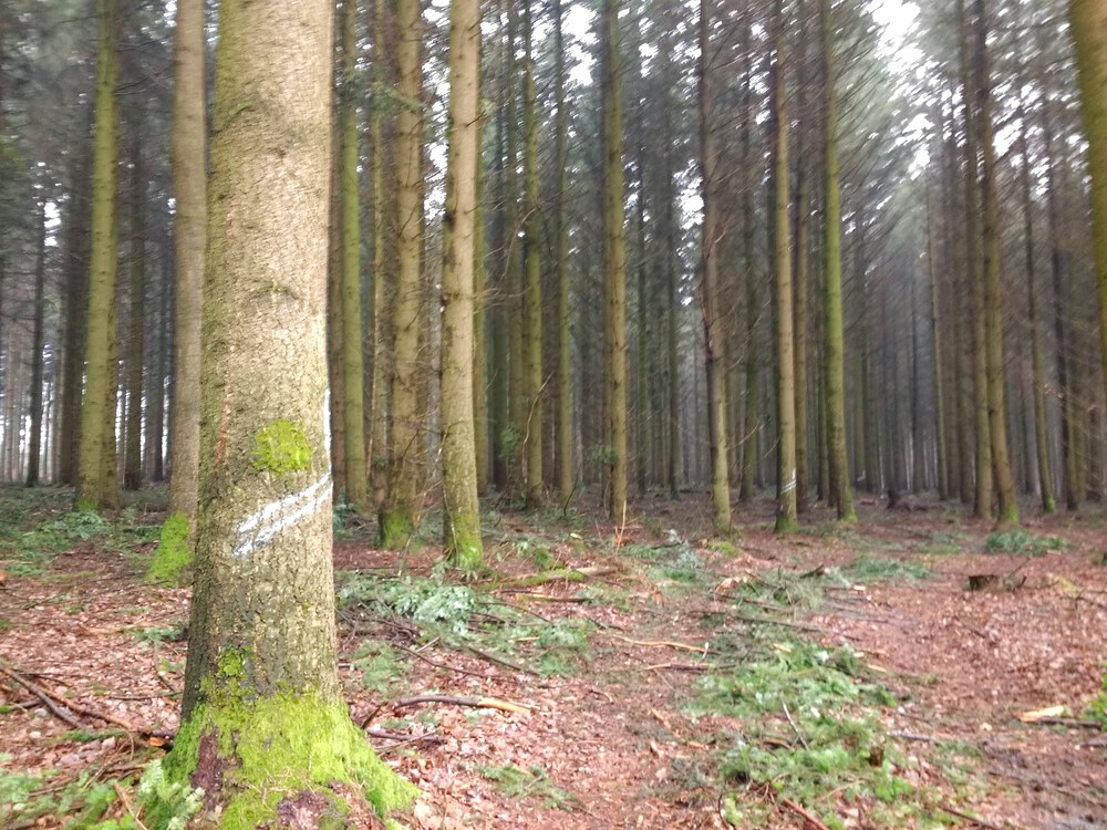
Here is where things started to go schief. My planned route had me climb from Saxberg to Bergmatting (warning sign #2: “Anything-berg-anything") through some woods to lead me to the ferry at Matting to cross the Danube and have a nice easy stretch of riverlands back towards Regensburg with optional final hilly bits leading up into Pentling and Graß. Boy, was I optimistic. “Through some woods” doesn’t really describe it.
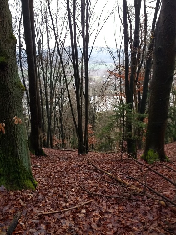
Holy crap. That is a heckuva slope on foot, let alone on a bike. And mine is a city bike. And beneath these soggy leaves is modeling-clay mud. I painstakingly traversed the mountainside, skidding and sliding with a bike in-tow.
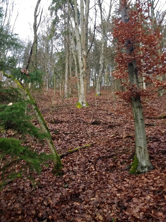
I walked my bike down several hundred meters of this slope, thinking “well, this stinks, but just get to the ferry and you can take it easy the rest of the way home.”
And in the end I completely lost my footing and scooted the last 50 feet on my butt. My bike came along behind me and then over me, bonking me on the head in the process. So, we know my helmet works.
I found a sign at the entrance to the “path” that read something to the effect of “you will be fined if you deviate from the path.” I challenge that sign publisher to identify the path.
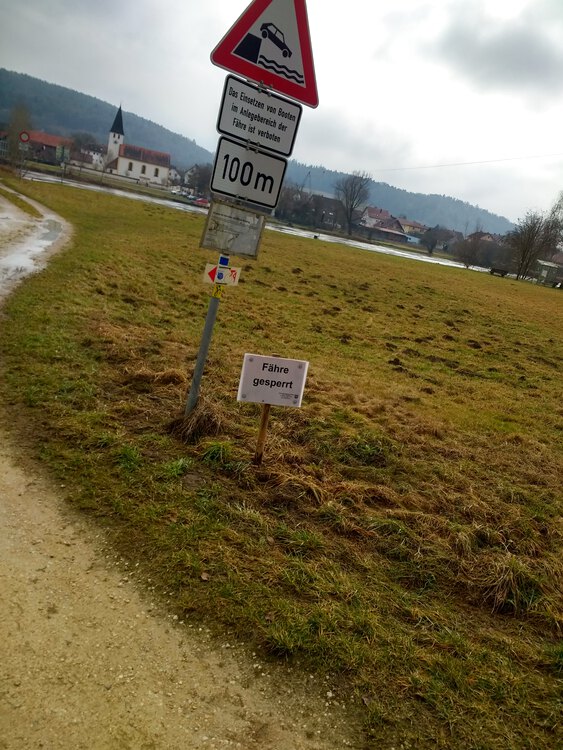
Hopes and dreams dashed. The ferry is closed due to high water.
*sigh*
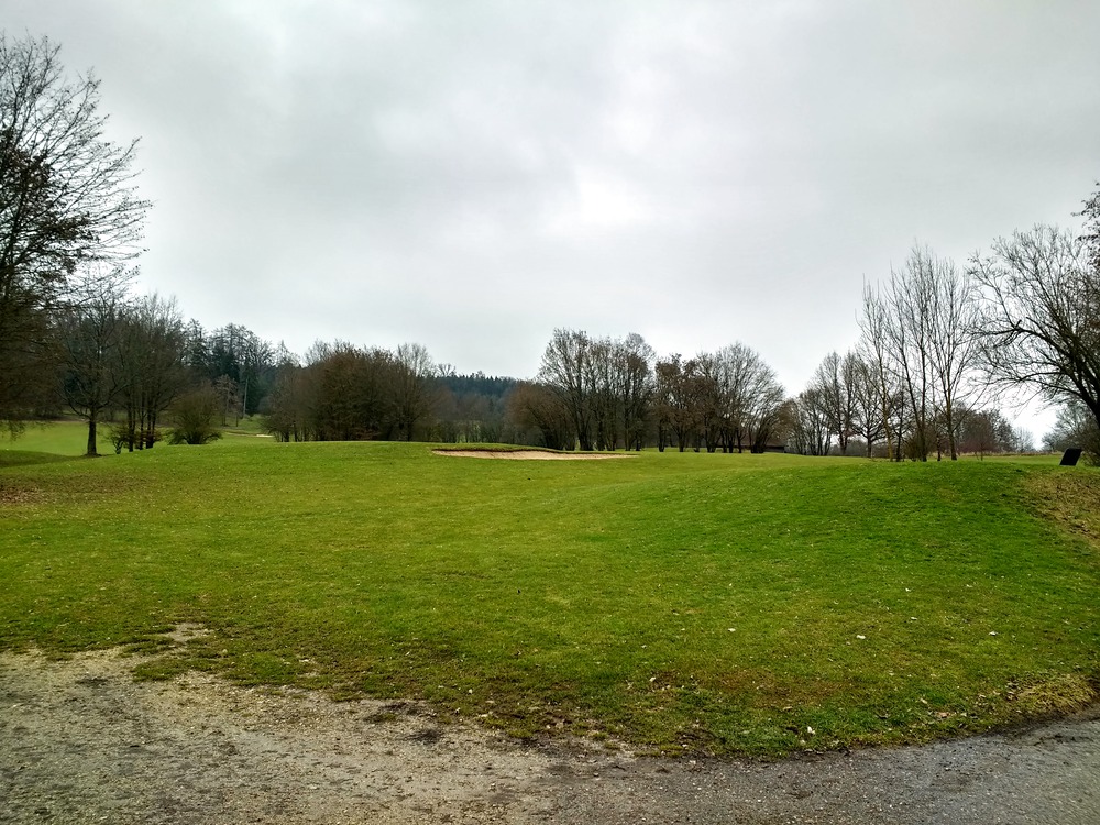
Biking through a golf course so close to the end of that nightmarish mudslide just pissed me off. I was so tired after skidding down that hill on foot that it took me several hours longer than planned for about the same overall distance traveled.
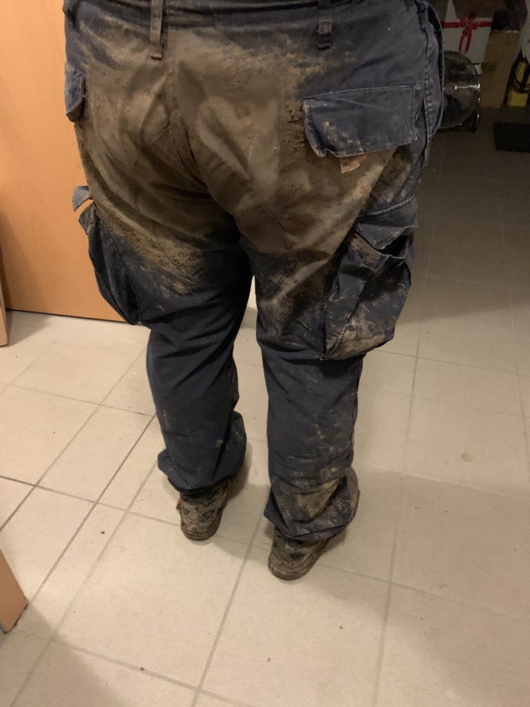
It was not until I got home that I could see how much of that mountain came along with me.
Video Recap
I gotta say, I’m impressed that the mounts and cases for my camera and phone protected my gear so well. Both were completely unscatched, even though they were caked in mud on the outside.
Route
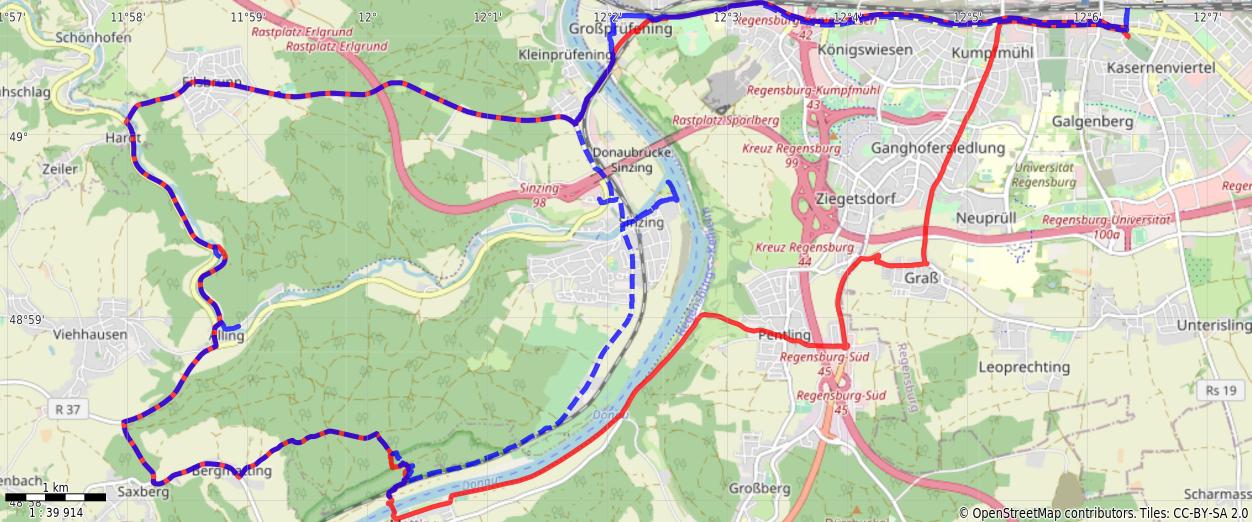
You might need to tap or click the map to make it bigger. The red solid route was my intention. The blue dashed route is my actual route.
Stats
Distance:          35.2 km
Time:              3:59
Calories:          3329
Calories from fat:   12%
Average Heart Rate: 147
Maximum Heart Rate: 173
Fat Burn:          0:08
Fitness:           3:50
Weight:     not weighed